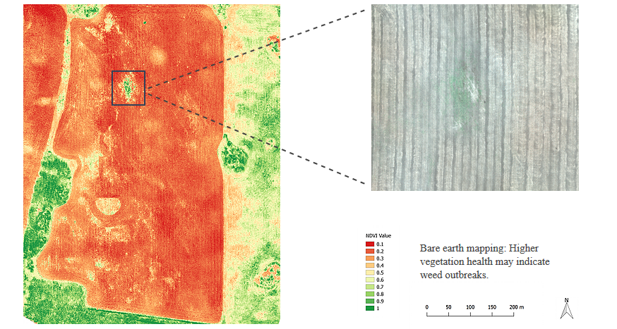
Our Weed Mapping Solution uses drone imagery analysis, computer vision and artificial intelligence to locate weeds before they become a problem so that effective spraying strategies can be designed and executed. Create weed maps that accurately display the location of infested areas. These maps can be downloaded as shape files for machinery integration and variable rate spraying.
Pre-season weed control
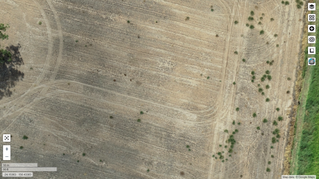
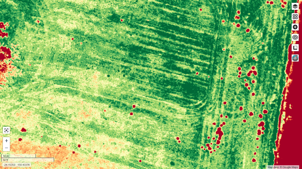
early weed detection in fallow fields
allows you to take immediate action
saves on chemicals
reduces costs
benefits the environment
prevents soil nutrient competition
reduces crop stress
improves yield
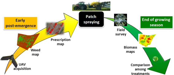
Three-Step Process
Weed detection by drone mapping
Precision herbicide application
Improved field conditions for crop production
AGRISTRY solutions
Maps for precision field analysis & 3D land surveys
Pre-season field analysis for weed detection & spraying
Shapefiles for variable rate application & machinery integration
Ongoing crop health & harvest readiness monitoring
AGRISTRY is your way to autonomous Precision Farming. Map your fields to gain valuable insights and optimise management strategies. Achieve increased yields, reduced costs and better environmental outcomes!